At Vilnius Gediminas Technical University
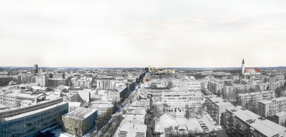
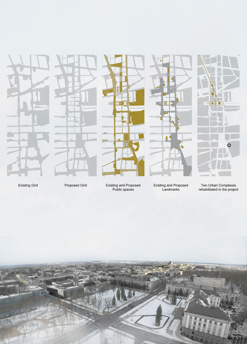
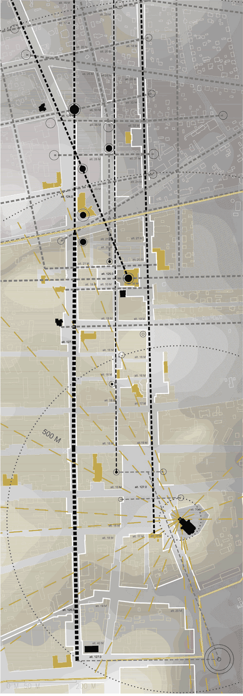
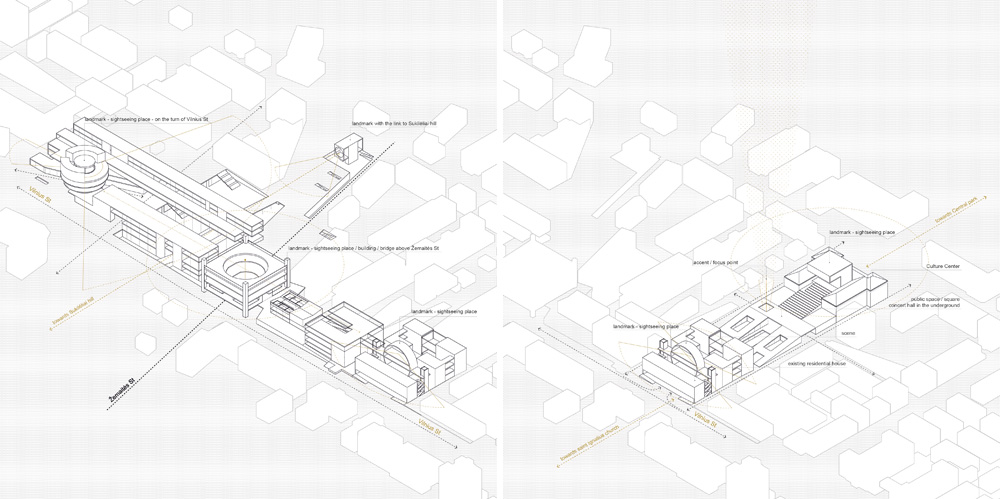
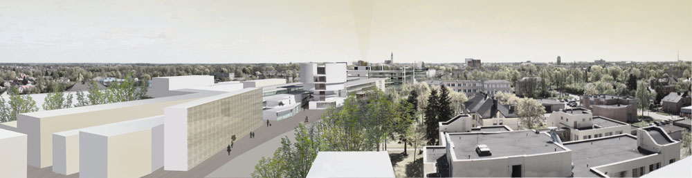
I surveyed the central part of Šiauliai in my master studies. I found out Vilnius Street is one of the main links between existing public spaces, landmarks and neighbourhoods. It is also a link to the history of the place.
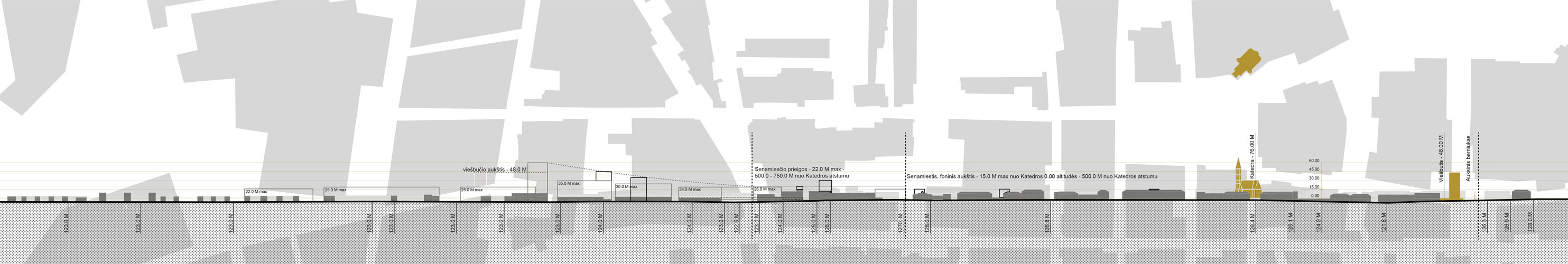
Šiauliai heritage is mostly reflected by urban structure and morphology. The city was destroyed in both World Wars to the extent of 80-85% of the buildings. Šiauliai does not have an old town as a Cultural Heritage Site but it has saved its history in the memory of the people. Due to the concern of its citizens, it was rebuilt both times. Vilnius Street and its close surroundings have kept more typical urban characteristics comparing to other parts of the city center.
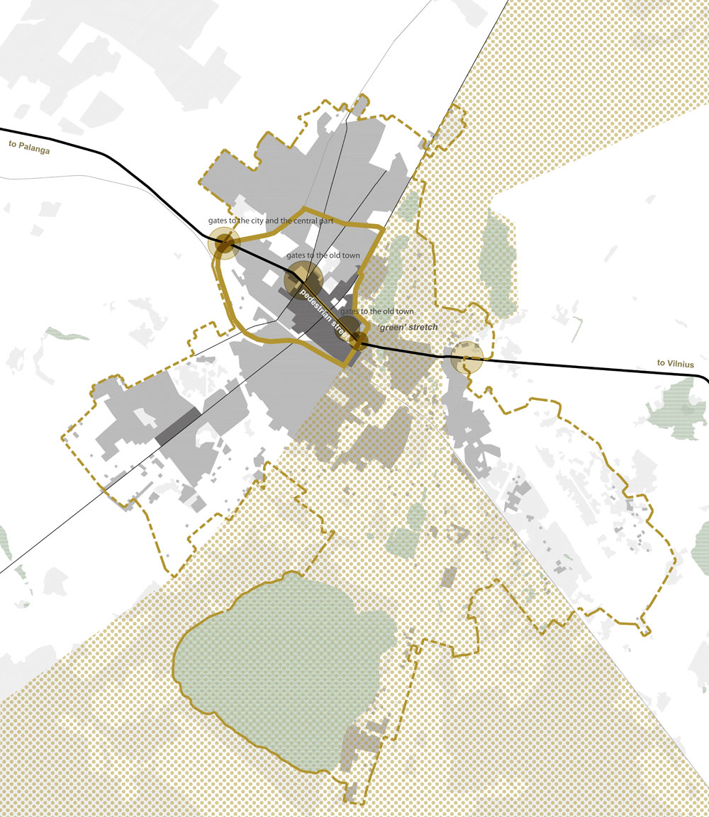
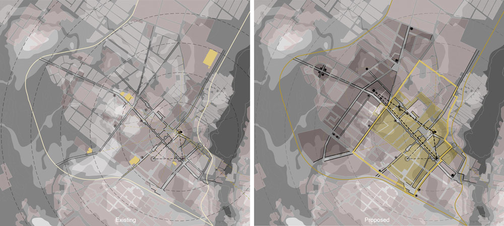
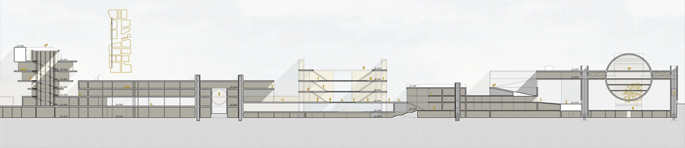
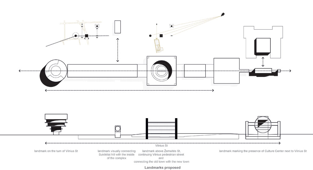
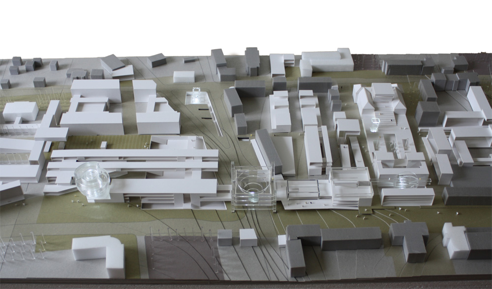
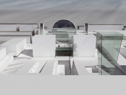
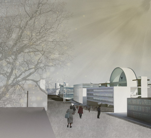
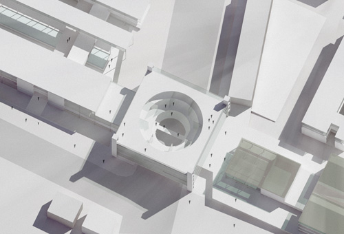
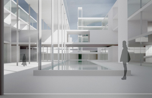
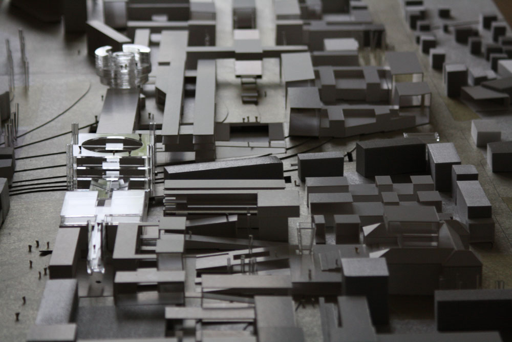
I have chosen a public space as a tool to rehabilitate historic center of the city and strengthen its connections to the surroundings. Vilnius Street which segment is currently a pedestrian street, is the starting point in the expanded net of public space.